EN
°F
Change your measurements
Meters
Feet
°C
°F
km/h
mph
kts
am/pm
24-hour
Your settings have been updated
Change your language
Deutsch
Español
Italiano
Nederlands
中文
English
Français
日本語
Português
Today
7 days
Weather
Fishing
Water temp
United States
tide charts
Massachusetts
tide charts
Suffolk County
tide charts
Bass Point 1.2 n.mi. southeast of
tide chart
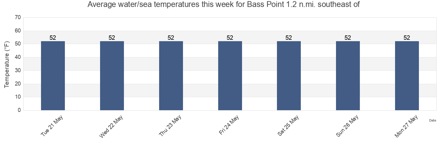
Bass Point 1.2 n.mi. southeast of water temperature
Bass Point 1.2 n.mi. southeast of water temperature for today, tomorrow and this week
More tide and marine information for Bass Point 1.2 n.mi. southeast of
Today's tides
Weekly tides
Weather
Fishing tides
Tide charts near Bass Point 1.2 n.mi. southeast of
Nahant
Pea Island 0.4 n.mi. southeast of
Bass Point
Nahant 0.4 n.mi. east of East Point
Nahant Beach Lynn Shores Reservation
Finn's Ledge Bell
Finns Ledge Bell 0.2 n.mi. west of
Little Nahant Cupola 0.6 n.mi. west of
Winthrop Head 1.1 n.mi. east of
Point of Pines 0.5 n.mi. south of