EN
°F
Change your measurements
Meters
Feet
°C
°F
km/h
mph
kts
am/pm
24-hour
Your settings have been updated
Change your language
Deutsch
Español
Italiano
Nederlands
中文
English
Français
日本語
Português
Today
7 days
Weather
Fishing
Water temp
United States
tide charts
Maryland
tide charts
Talbot County
tide charts
Cook Point 1.4 n.mi. NNW of
tide chart
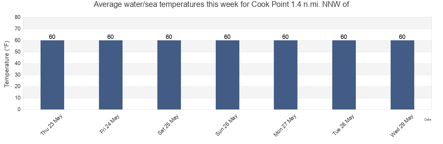
Cook Point 1.4 n.mi. NNW of water temperature
Cook Point 1.4 n.mi. NNW of water temperature for today, tomorrow and this week
More tide and marine information for Cook Point 1.4 n.mi. NNW of
Today's tides
Weekly tides
Weather
Fishing tides
Tide charts near Cook Point 1.4 n.mi. NNW of
Holland Point 2.0 n.mi. SSW of
Sharp Island Lt. 2.3 n.mi. SE of
Tilghman Island
Sharps Island Light
Avalon (Dogwood Harbor)
Avalon Dogwood Harbor
Hudson Creek
Bald Eagle Pt. east of Harris Creek
Sharp Island Lt. 2.1 n.mi. west of
Piney Point